Bahai Library Online

>   Maps
TAGS: 1950; Maps; United States (documents)
Notes:
Scanned by Kinko's for John Conkling.

See also Index to Maps and charts in Bahá'í World volumes.


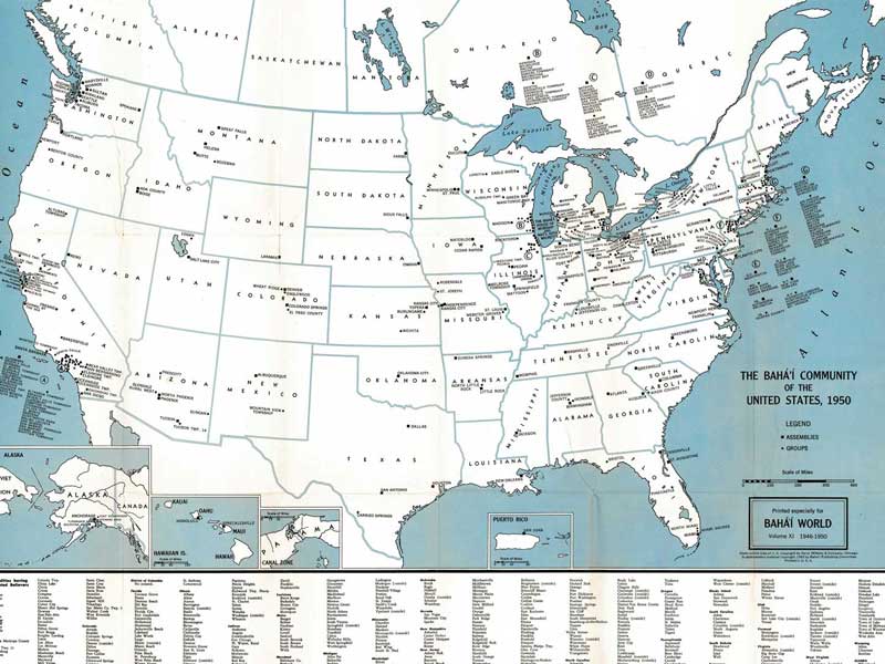
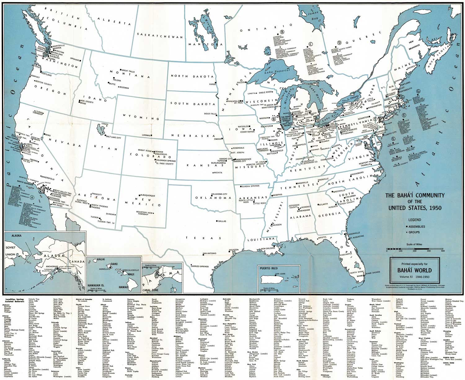
Bahá'í community of the United States (1950)

[author name unknown]

published in Bahá'í World

Vol. 11 (1946-1950)

Wilmette, IL: Bahá'í Publishing Committee, 1952

Click on one of the links below to see this image in different sizes. It was originally scanned at 600ppi and saved as uncompressed TIF, which I converted to JPG. The smaller versions have been lightly edited to improve contrast. To see the uncropped, unedited JPG file, click on the "Full" link below. Note: the Full image is huge, please try the smaller sizes first. The "Big" image should be large enough for printing. Original map measures 63.5 cm high x 77 cm wide.
Small1500x1227 px262KB bw11_map1_united_states_1950_small.jpg
Medium3000x2465 px867KB bw11_map1_united_states_1950_med.jpg
Big8000x6572 px5MB bw11_map1_united_states_1950_big.jpg
Full18062x14838 px44MB bw11_map1_united_states_1950_full.jpg

preview image:

METADATA
Views22055 views since posted 2010-09-11; last edit 2024-12-21 22:44 UTC;
previous at archive.org.../map_localities_america_1950
Language English
Permission   © BIC, public sharing permitted. See sources 1, 2, and 3.
Share Shortlink: bahai-library.com/3283    Citation: ris/3283
home divider sitemap divider series divider chronology
search:   author divider title divider date divider tags
adv. search divider languages divider inventory
bibliography divider abbreviations divider links
about divider contact divider RSS divider new
smaller fontbigger font