![]()
|
|
Abstract:
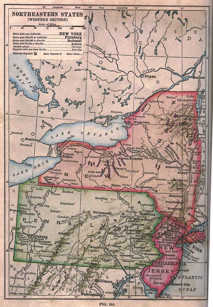
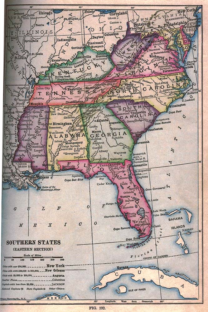
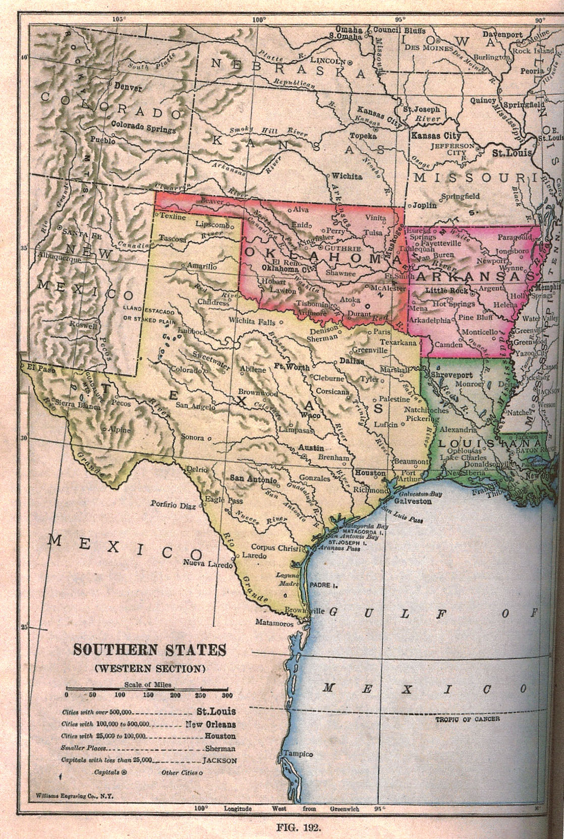
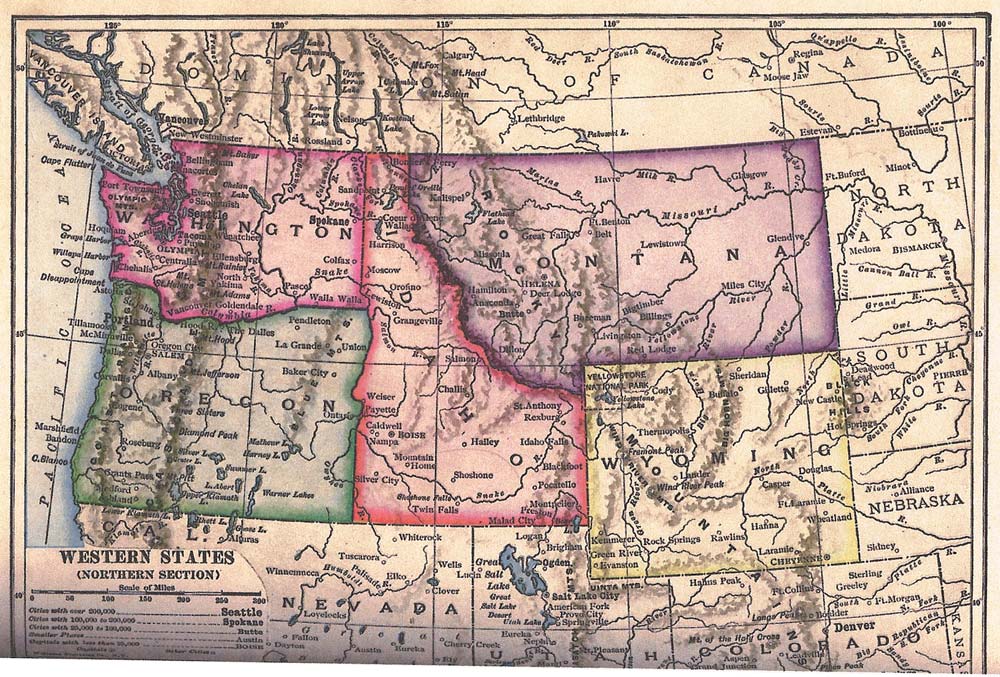
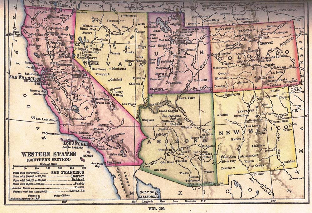
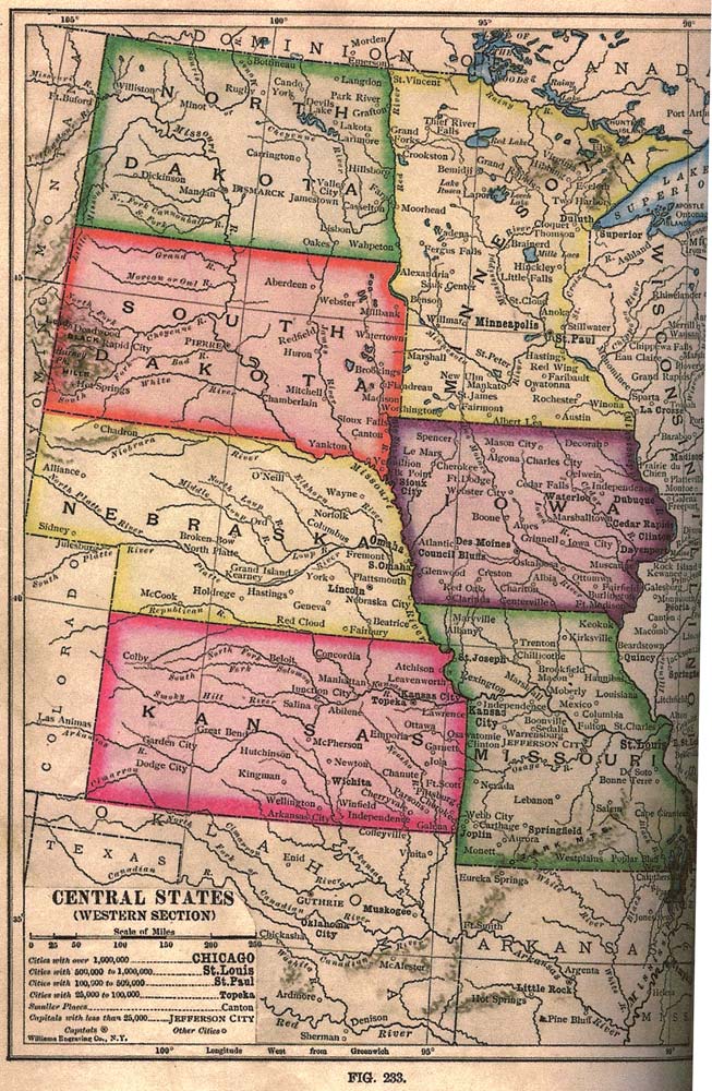
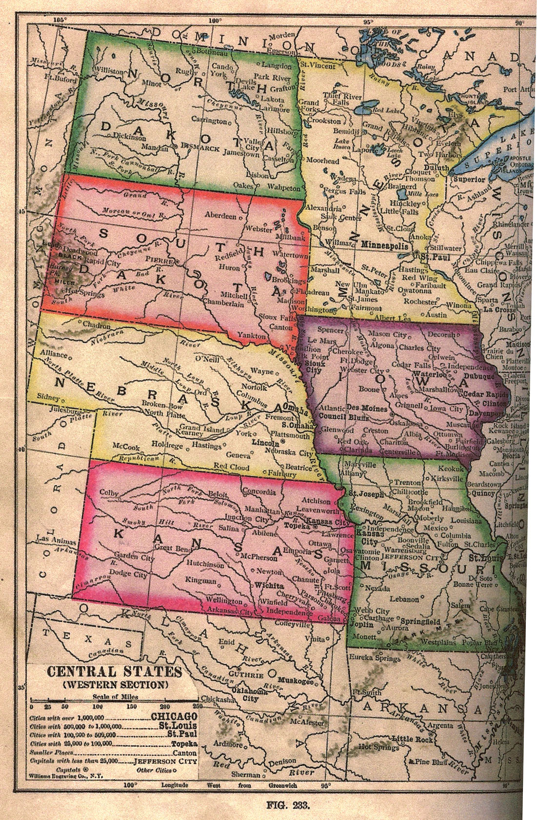
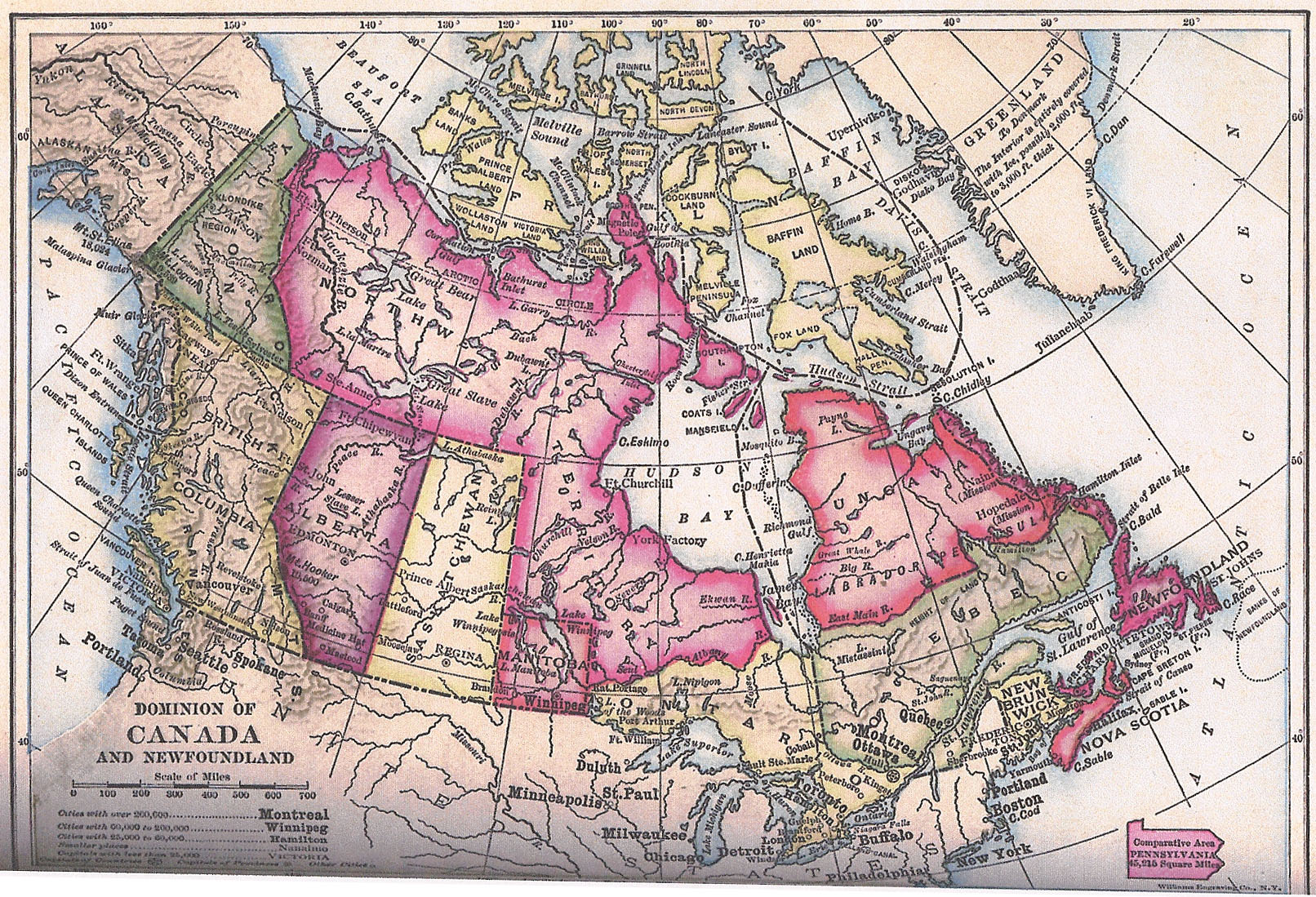
Maps of the five regions of North America as published in an American geography book in 1912 and known to have been read by 'Abdu'l-Bahá in Haifa/'Akka while writing Tablets of the Divine Plan.
Notes:
See also a map of the Places named by Abdu'l-Bahá in TDP and a letter from the NSA of Canada on a Canadian question.
See the entry for this book at amazon.com; also an article by Dale Lehman on the Tablets of the Divine Plan. Crossreferences:
|
| A copy of this book was sent to the US NSA by Ahmad Sohrab, who indicated that 'Abdu'l-Bahá had seen and read the book (source: personal email to John Conkling from Roger Dahl, archivist at the US Bahá'í National Center; date unknown). The significance of this is that the five regions into which Abdu'l-Bahá divided North America when writing Tablets of the Divine Plan — Northeastern states, Southern states, Central states, Western states, and Canada/Greenland — parallel the regions of this book. Other than rotating these images and converting them from TIF to JPG, I did no digital editing. See an earlier edition of the entire book at archive.org. [J.W., 2010]
| ||||||||||||||||||||||||||||||
| METADATA | |
| Views | 11701 views since posted 2010-08-18; last edit 2025-01-20 05:33 UTC; previous at archive.org.../divine_plan_maps |
| Language | English |
| Permission | public domain |
| History | Scanned 2006 by John Conkling. |
| Share | Shortlink: bahai-library.com/3863 Citation: ris/3863 |
|
|
|
|
Home
search Author Adv. search Links |
|